Homepage


Welcome to our website!
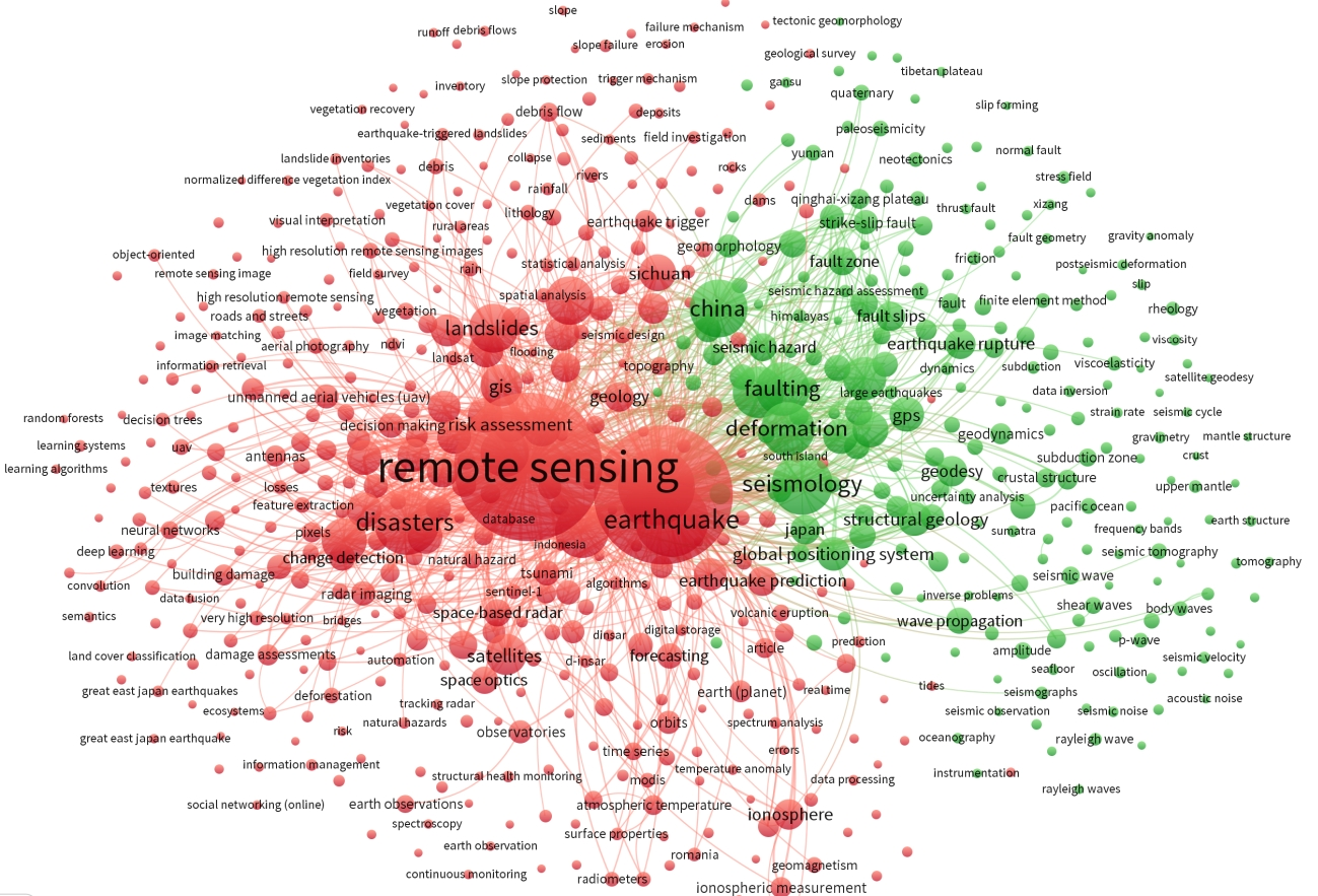
Our focus is on developing and applying earth observation-based and ground remote sensing methods to better explore and understand landscapes.
We concentrate on advance our understanding of the landscape and natural environment by systematic mapping and image processing analysis.
Applications are particularly extended from observations of single monuments to archaeolandscapes and their diachronic changes.
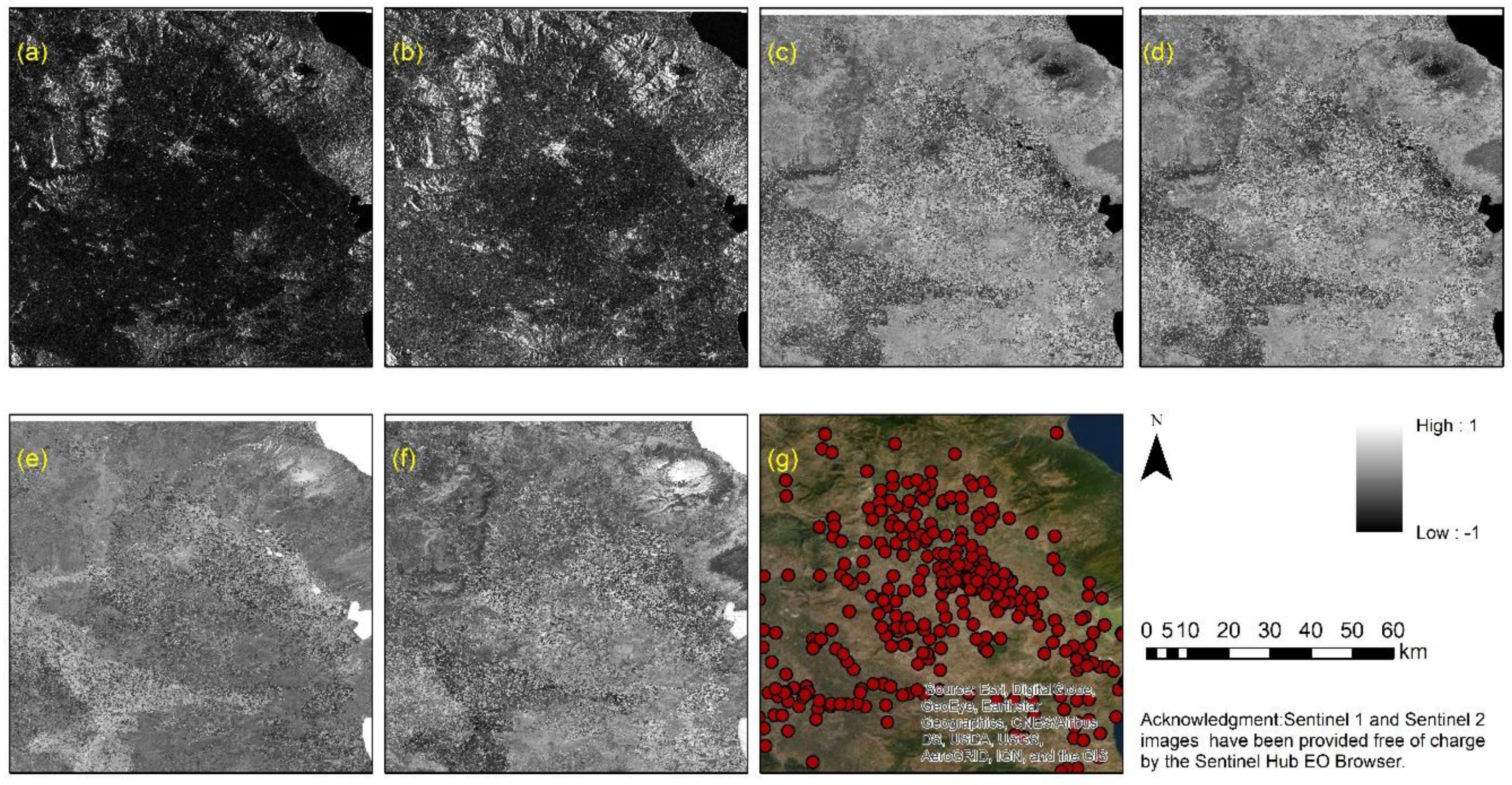
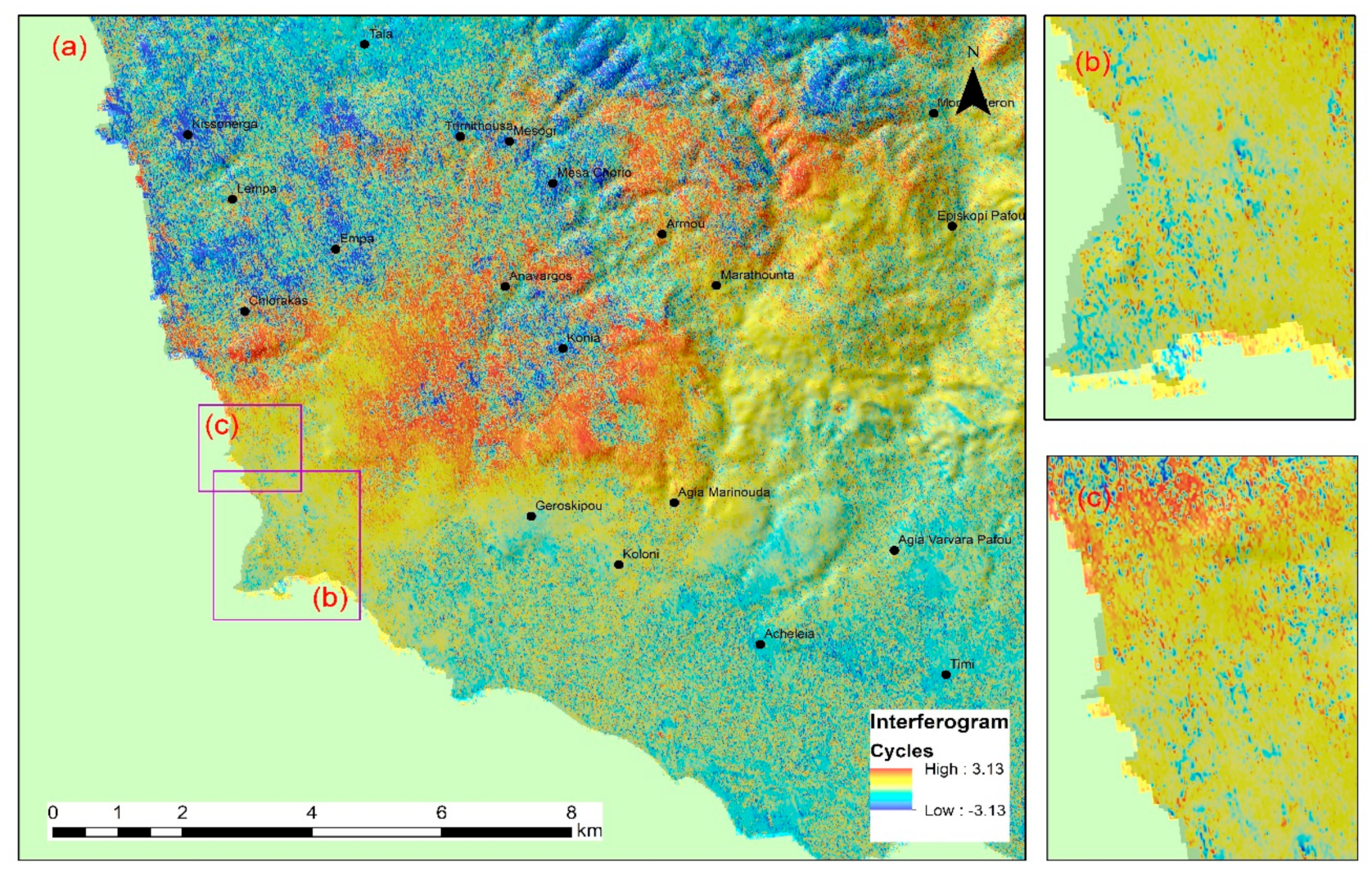
The core research areas of the team are the use of multispectral, hyperspectral and radar data from Copernicus and other high-resolution sensors, supported by UAVs campaigns and ground measurements. Find more in research projects and publications pages.

(Group on Earth Observations - GEO)