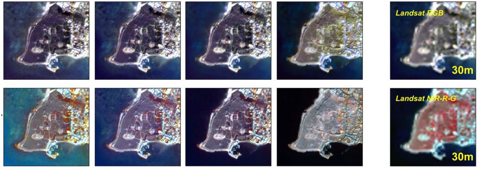
The NAVIGATOR project focuses on improving and developing Earth Observation methodologies and strategies for Cultural Heritage applications. Towards this direction, the Copernicus Earth Observation big data technologies and cloud platforms can play a vital role in addressing existing problems of built heritage management (such as risk assessment of Cultural Heritage sites).
The use of Earth Observation and ground remote sensing non-contact technologies are suitable to support the development of an integrated approach to data usage for better decision making related to preventive interventions and for supporting site management and sustainable exploitation of its cultural assets. The broad spectra of remote sensing techniques provide the ideal platform to undertake a wide range of practical, cost-efficient and easily programmable studies, not easily acquired with other tools. In the case of cultural landscape sites, these techniques offer the opportunity to ensure repeated monitoring of multiple parameters, in a macro and micro spatial scale, offering European broad comparisons and contrasts.
